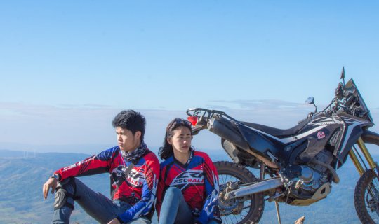
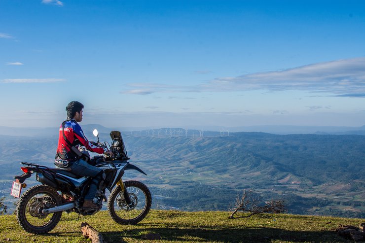
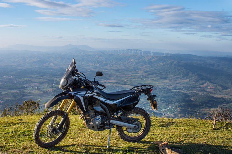
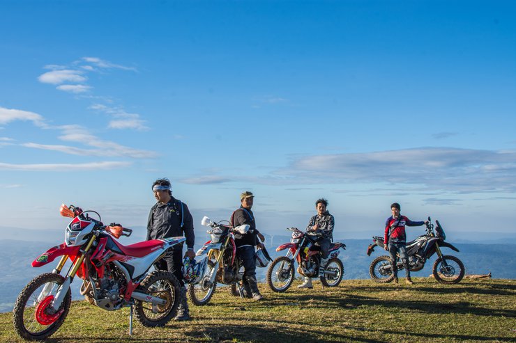
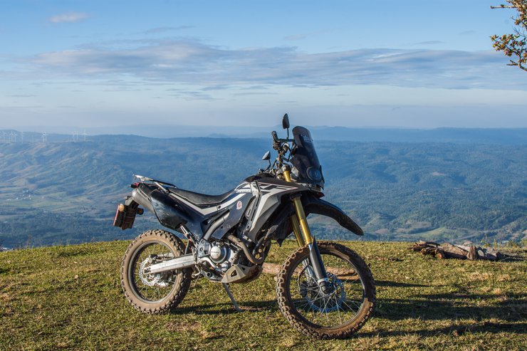
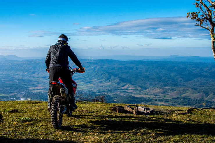
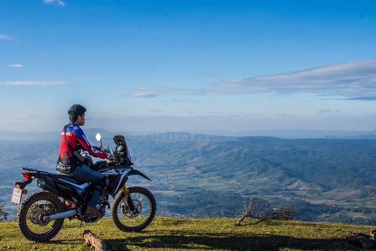
Greetings! This is the final review of the year 2017, which I have just had time to complete. This trip was inspired by my long-standing desire to visit Pha Tat, another mountain peak on my must-visit list. Since acquiring my dirt bike, I've been steadily conquering various mountains, and Pha Tat was finally next in line. However, with only one day to spare, I wondered if it would be feasible. With limited vacation days, I had to make the most of them. So, I decided to embark on a one-day solo adventure. A short day trip it would be.

Rough trip details for Father's Day, December 5, 2017
A Short Trip, a Long Journey: A Night Drive to Khao Kho and Back
This sentence describes a short but scenic trip from Bangkok to Khao Kho, a mountainous region in Thailand known for its stunning natural beauty. The journey begins with a late-night drive, arriving at Khao Kho in the early morning.
The first stop is Phaตัด, a viewpoint offering breathtaking panoramic views. From there, the travelers descend to Flower Front, a picturesque flower field at the B.N. Farm. Next, they head to Tung Saelang Luang, another scenic meadow, before finally returning to Bangkok.
This sentence captures the essence of a quick getaway, where the destination is less important than the journey itself. The late-night drive and early morning arrival suggest a desire to escape the hustle and bustle of city life and immerse oneself in the tranquility of nature. The choice of destinations, with their focus on natural beauty and outdoor activities, further reinforces this theme.
The sentence also hints at the challenges and rewards of such a trip. The long drive and early start require a certain level of commitment and stamina. However, the stunning scenery and the opportunity to connect with nature make the effort worthwhile.
All photos were taken with Nikon D7200 fix35 70-300vc and gopro 4silver.
This trip, I only have a few clips. The day before I went, I was about to charge the GoPro, but the charger broke and there was nowhere to buy a new one. So I only had a little battery left, which was a shame. I'll have to go again. And I also lost some photos, so I don't have all the photos from the trip. Luckily, I uploaded some photos during the trip. Let's take a look.
Embarking on a solo adventure, I was fortunate to connect with three local riders from Phetchabun who were also heading to Pha Tat. Having seen their post about the challenging route, I reached out for guidance, fearing the journey alone. Coincidentally, one of them resided in Phetchabun and kindly offered to lead the way. This unexpected act of kindness from a stranger made the trip even more memorable.
Leaving home a little after 1 am, I'm getting used to riding my motorbike at night, especially on this route to Phetchabun. I've done it many times before. I cruised at a comfortable pace, not exceeding 120 km/h. By 6:30 am, I arrived at Khao Kho. I originally planned to go to Pino Latte in the morning, but the photos are gone. Oh well. Then I met up with the others near the temple and we set off. They ride like they're going to a coffee shop, cutting through the cliffs regularly. I didn't take any photos on the way up, just followed them as they rode fast. I was even the pillion rider! I'll show you some photos on the way down later. We followed them, twisting and turning, and arrived at Pha Tat in less than an hour. The trail was completely dry, making it relatively easy. There were only two steep sections: the "welcome" hill and the final hill.
Wow! The view is breathtaking, just as everyone says. It's so beautiful and expansive.

However, when I reached the 7th or 8th floor, the sun was already shining brightly, making it a bit difficult to take pictures this morning.
Local guides in Phetchabun, thank you again for leading the way.


The area around is a steep cliff, be careful not to fall down while riding. The wind is very strong.

Ride and chat.


The sentence is already in English and does not require translation.


I see windmills in the distance over there.


Go a little further.


The wind is very strong today. Even just walking, I feel like I'm going to be blown away.


He had some business to attend to and stayed for 10 minutes before going down. So I rode around to pick up the items that were left at the first spot.


The real thing is much more beautiful and expansive than the pictures.


Move to another hill. Here, there will be a thrilling cliff face where you can walk down to take pictures, a popular spot for photography enthusiasts.

This section is particularly thrilling due to the strong winds. Follow the steps in the video carefully.

The provided text is empty. There is nothing to translate.

The sentence is already in English and does not require translation.


This is the last photo from GoPro today. The battery died. 555

The provided text is empty. There is nothing to translate.
I stayed upstairs for quite a while, eating sticky rice with pork that I bought from downstairs.

This morning, while taking photos, I came across another Click 125 motorcycle. It appears to have been parked there overnight.


The cliff is ours now, no one is around so we can pose for the camera without feeling shy. Hehe.

It's time to put on your hat and move on to another place.

The downhill section is steep, but there is a wave that can be ridden up. A mother and child were walking up, but they seemed to be locals. If it's dry, small cars with gears can easily go up, but automatic cars might struggle. If you have friends with you, you can definitely make it up.

This final climb is particularly challenging, especially in rainy conditions. The steep incline and sharp bend followed by a long, winding ascent make it a demanding section. Fortunately, the climb is not excessively long.

The sentence is already in English and does not require translation.


The provided text is empty. There is nothing to translate.
Here it is, not too long.


The path is beautiful.


This bamboo gate must be encountered by everyone who actually asked my brother to close it. He made it to keep the cows out, but I saw it open when I arrived. I met a team of cyclists who were cycling up the cliff face.


The view here is beautiful, especially from the first guest hill.

Note: The original text is empty, so the translation is also empty.
This section is quite thrilling, with a significant difference in levels.


Continue to enjoy the scenic views along the way.


The provided text is empty. Please provide the text you want me to translate.


This month, the forest is starting to dry out.


The entrance is not shown, although I took a picture of it. It seems to have disappeared somewhere between the entrance and the intersection.
The usual access point for the cliff is from Ban Khek Noi.
Permission to use two images from Google.
This way.

After passing through the village, continue straight until you cross a low bridge. You will see a sign, turn right and follow the main road for another 10 kilometers. The road is a mix of concrete and dirt in the beginning, but it's not difficult. If I remember correctly, there will be another three-way intersection where you should turn right and continue straight. You will then encounter the first steep hill. From there, the road will be dirt all the way. If it hasn't rained, you should be able to make it up the hills. I rode with a passenger and had to walk the first and last hills. If you have a very large motorcycle, you may need to try it out. However, if it has been raining, the road will be very muddy and even off-road vehicles may not be able to pass.

Safely landed on the ground. The next destination is Flower Front, a flower field at B.N. Farm, Khao Kho. The picture here is missing. I only have the one I uploaded that day. There are a lot of people at the big field by the side of the road.


According to what I've read, the cherry blossoms will be in full bloom around January. Let's go next year, haha. It's almost February now.

Leaving the flower field, we continued to Thung Salaeng Luang. We stopped for lunch at a delicious restaurant near the entrance.

Upon arrival, please contact the staff to inquire about the available items.

Our destination is the Naang Phaya Maen Len field. Let's go!
The child began to have diarrhea in the afternoon after lunch.


The access road is not difficult, especially during the dry season. High-clearance pickup trucks can easily navigate the slightly steep sections, and motorcycles are also suitable when it's not raining.


We have arrived. It is very deep, but also very beautiful.

I've been secretly watching you, but you haven't noticed. I'm following you to the review, hehe.

This is the translated text. It is simply an empty paragraph with a line break.
The majestic pine trees await your exploration.


Note: The original text is empty, so the translation is also empty.
The place is deserted, with only one parked car and no people around. I can finally set up my camera and take pictures without feeling embarrassed. Hehe.

Rest your eyes, my dear. Sleep here.


Immerse yourself in the heart of the pine forest and explore the surrounding atmosphere.


The scenery along the way was breathtaking.


Turn left at the fork and continue to Kaeng Wang Nam Yen.


End at Thung Salaeng Luang sign.


The peaceful and serene atmosphere makes it an ideal place to pitch a tent.


Goodbye, Phetchabun. Left the park around 2:00 PM. My body is starting to feel the fatigue now.

Come stay with us again near Wang Noi.

Be patient with me, for the path to our dreams is not without its challenges.
The sentence is already in English and does not require translation.
Both the rider and the passenger were exhausted. It took 21 hours to reach home, arriving at around 9:00 PM after starting at 1:00 AM.

The cost of this trip
The cost of fuel is over 900 baht.
The rest is for food expenses.
Another grueling trip has come to an end. We rode all day and night, our bodies exhausted but our hearts full. Until next time, farewell!

The sentence is already in English and does not require translation.
เหลี่ยมพาเที่ยว
Monday, November 11, 2024 9:56 AM

